Rand Mcnally Easy to Read: Arkansas State Map - NEW For Sale


When you click on links to various merchants on this site and make a purchase, this can result in this site earning a commission. Affiliate programs and affiliations include, but are not limited to, the eBay Partner Network.

Rand Mcnally Easy to Read: Arkansas State Map - NEW:
$22.99
Rand McNally\'s Easy To Read State Folded Map is a must-have for anyone traveling in and around Arkansas, offering unbeatable accuracy and reliability at a great price. Our trusted cartography shows all Interstate, U.S., state, and county highways, along with clearly indicated parks, points of interest, airports, county boundaries, and streets. The easy-to-use legend and detailed index make for quick and easy location of destinations. You\'ll see why Rand McNally folded maps have been the trusted standard for years. -Regularly updated, full-color maps. -31% larger map with a bigger type size than the Rand McNally Folded Map. -Clearly labeled Interstate, U.S., state, and county highways. - Indications of parks, points of interest, airports, county boundaries, and more. -Mileage and driving times map. -Detailed index. -Convenient folded size. Coverage Area Detailed maps of: Buffalo National River, Fayetteville/Springdale/Rogers, Fort Smith, Hot Springs/Hot Springs National Park, Downtown Hot Springs, Jonesboro, Little Rock, Memphis, TN; Pine Bluff, Texarkana. Product Details: Dimensions (unfolded): 28 x 40.
|
|
Other Related Items:
Related Items:
Rand Mcnally Easy to Fold: Tennessee State Laminated Map - NEW $26.99
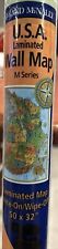
Rand McNally USA Wall Map (M Series) 50" x 32" Laminated Write-On/Wipe-Off Map $28.00
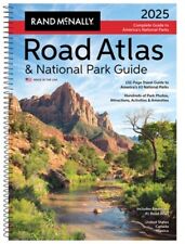
Rand McNally 2025 Road Atlas & National Park Guide (Hardback or Cased Book) $28.95
|